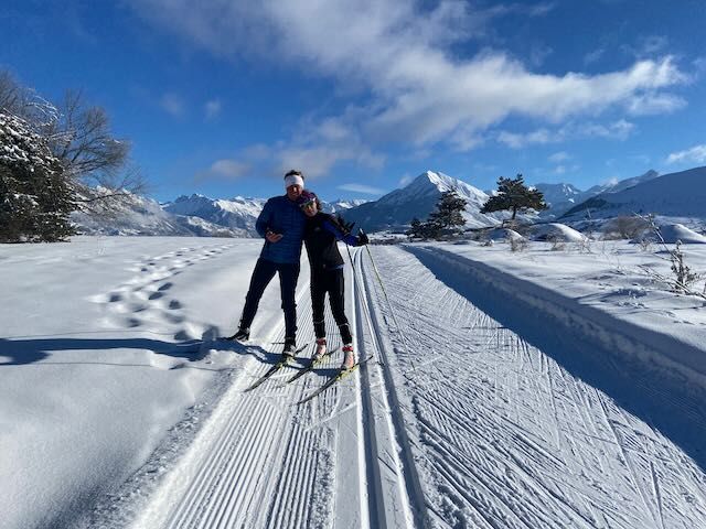
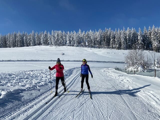
Gap Area (Gapençais) France
There are 5 domains in this area which provide nearly 130km of cross country skiing tracks:
Getting to Gapençais by Air
Fly to the Marseille-Provence Airport or
Turin-Caselle - 133 km
Grenoble Alpes-Isère Airport - 159 km
Lyon Saint-Exupéry - 205 km
Transfer by Bus
You can get a Linkbus from various airports.
The Neige Express from Marseille to Embrun and Crévoux.
Getting to Gapençais by Train
From Paris:
Daily service by sleeper train, Paris-Austerlitz to Mondauphin-Guillestre
Daily service by TGV, Paris to Valence
Daily service by TGV, Paris to Oulx (Italy)
From Marseille:
Several TER trains daily, Marseille to Briançon, mostly stopping at Mondauphin-Guillestre.
Cross Country Ski Map of Valgaudemar
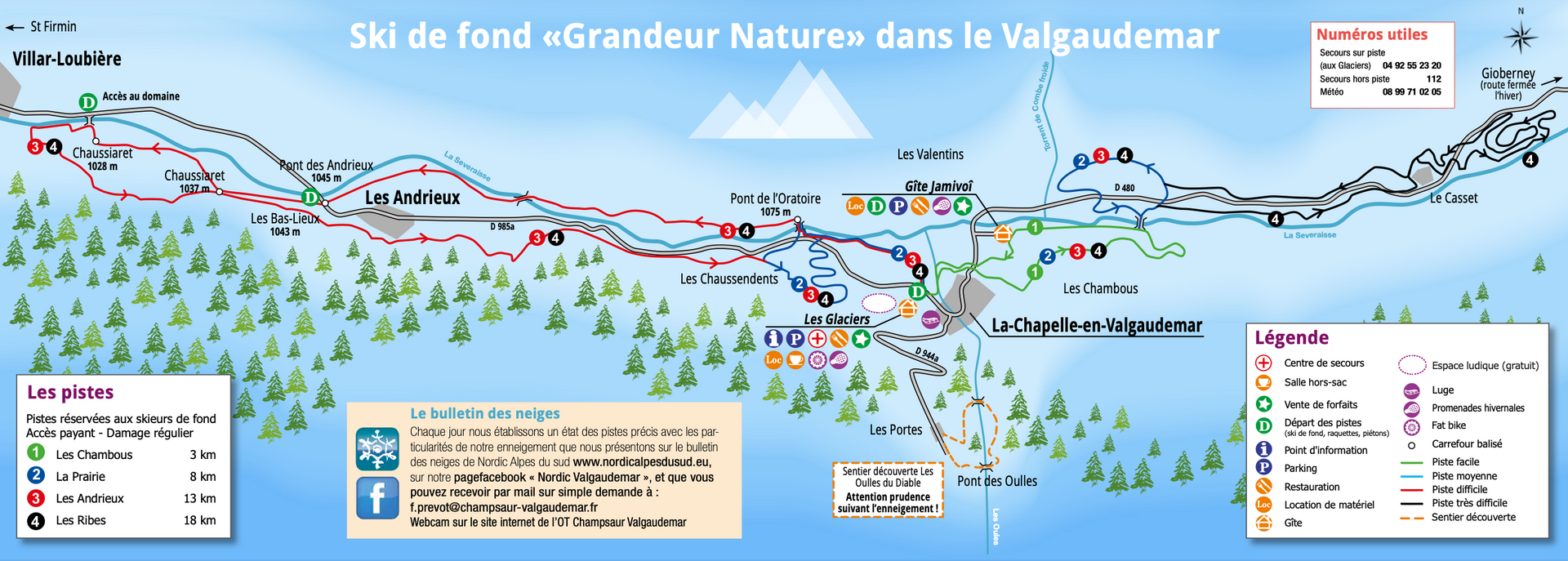
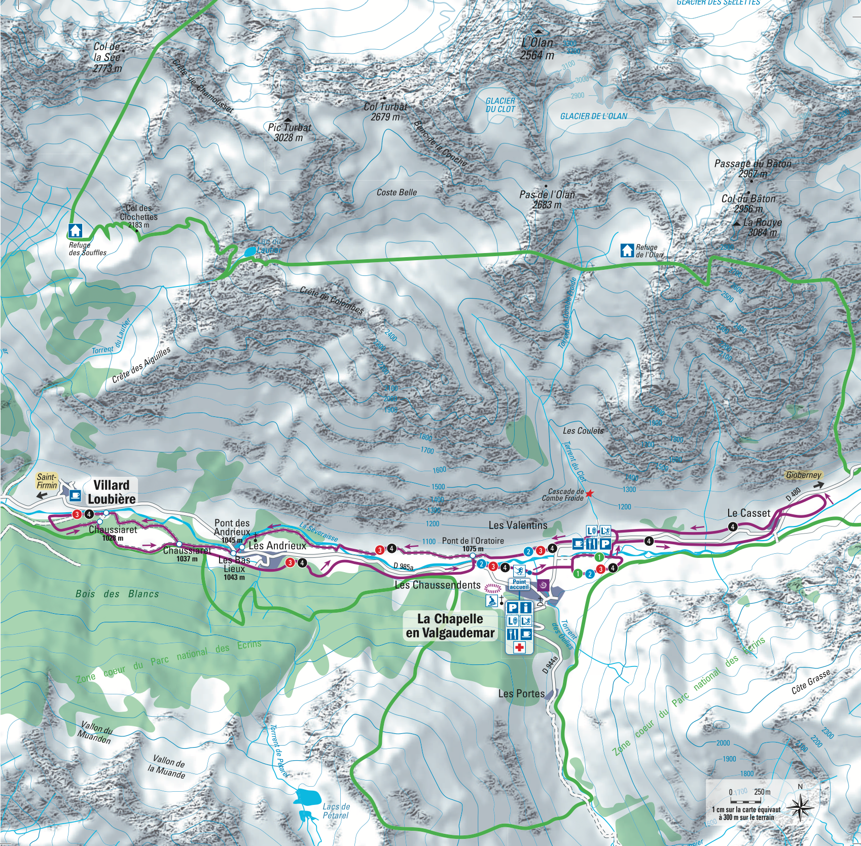
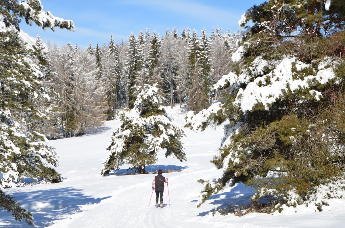
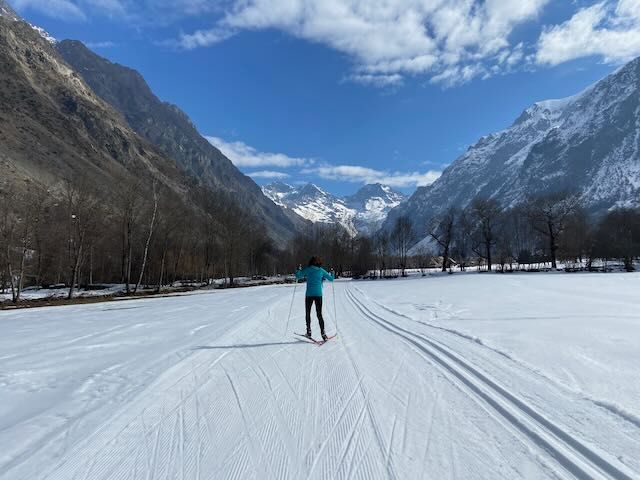
Valgaudemar
In a valley entirely dedicated to Nordic practices you have a unique atmosphere to go cross country skiing, snowshoeing, dog sledding, fat biking and ice climbing.
The villages of Champsaur Valgaudemar are Ancelle, Chaillol, Laye, Saint-Léger-les-Mélèzes, Orcières Merlette, Serre Eyraud, Saint-Bonnet, Pont du Fossé and the Valgaudemar valley. The Nordic ski area of around 20km stretches along the waters of the Séveraissen, which is sometimes frozen, and wind through many of these villages.
Cross Country Ski Tracks of Valgaudemar
Cross Country Ski Maps of Champsaur
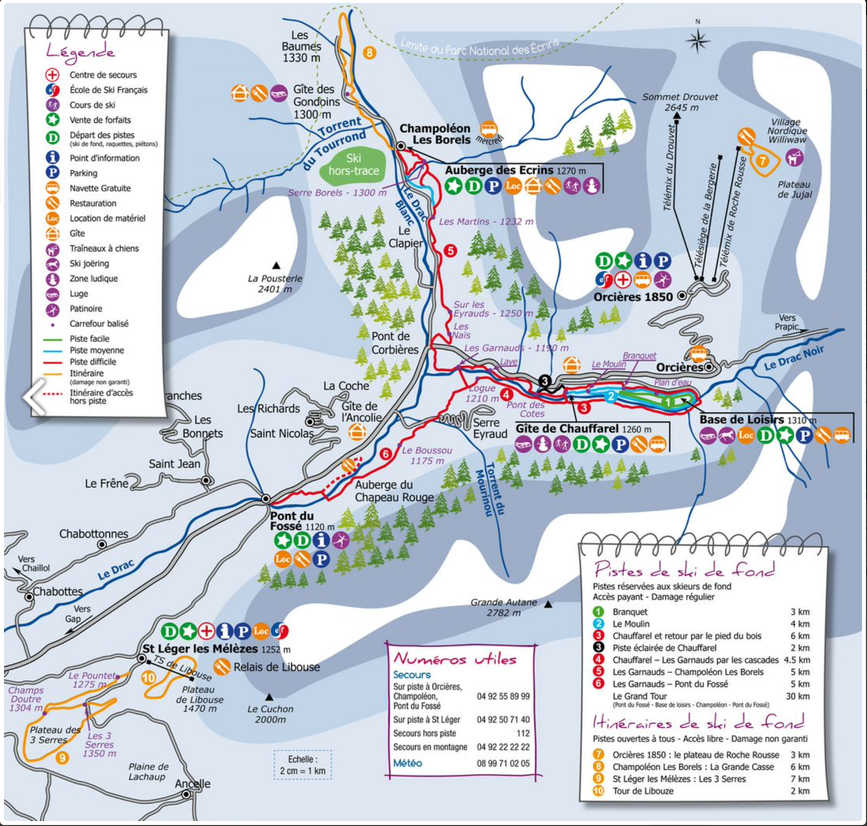
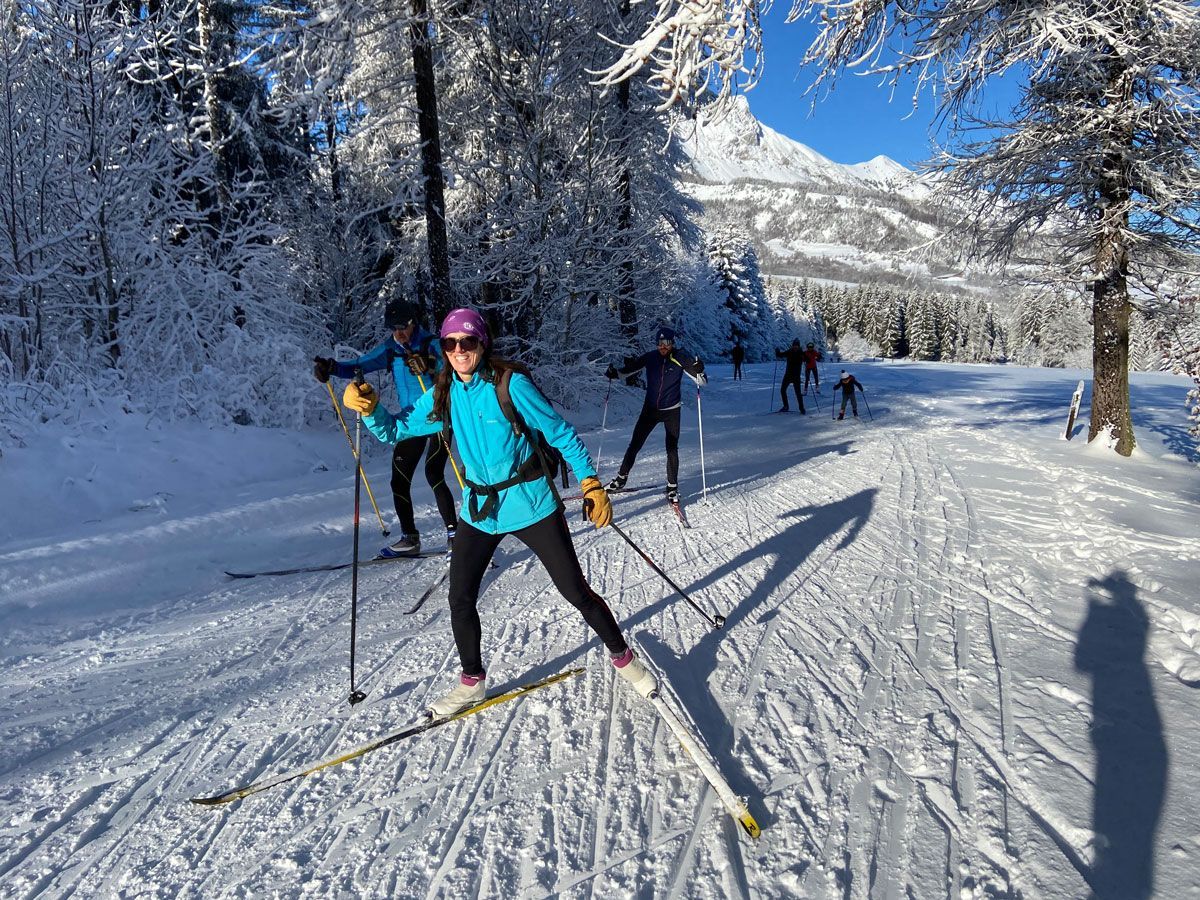
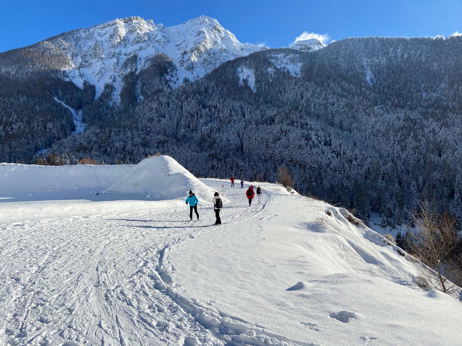
Champsaur
The 40km of tracks for all levels in the Haut-Champsaur Nordic domain link Orcières with the Champoleon valley and Pont-du-Fossé in a wooded setting close to the Drac. The cross country ski tracks link several villages together and from Pont du Fossé, it's possible to cross country ski all the way to the Base de Loisirs and then to Les Borels in the Champoleon valley. This long traverse is a beautiful way to appreciate the frozen banks of the River Drac and it's snow covered surroundings. There are loops for all levels of 4km, 6km and 10km around the Chauffarel gîte
There is also the possibility to venture out on a big tour (instead of a skills lesson) taking you from the top of the Orcieres valley right into the heart of the Champoleon valley. The reward is an exceptional restaurant in a pretty auberge in the tiny hamlet of Les Borels. The aim is to get there for lunch! The most direct route is 10km but it is possible to extend this for the more adventurous. Remember of course that you need to get back!
Orcières offers you different areas for cross-country skiing and is the northern domain of Haut-Champsaur. This domain has the particularity of connecting several villages with each other. From Pont du Fossé, skiers can reach the leisure center of Orcières and then Champoléon - Les Borels through 25km of tracks marked and traced in skating or alternative. This long crossing allows you to fully appreciate the cozy atmosphere of the banks of the Drac numb by the cold.
But an altitude route is also offered from the Rocherousse plateau (2280m). Accessible by the Rocherousse telemix, 4km traced in skating allow you to enjoy the unique atmosphere of the Jujal plateau.
Orcières Cross Country Ski Tracks
Champoléon and Pont due Fossé Cross Country Ski Tracks
Cross Country Ski Maps of Ancelle
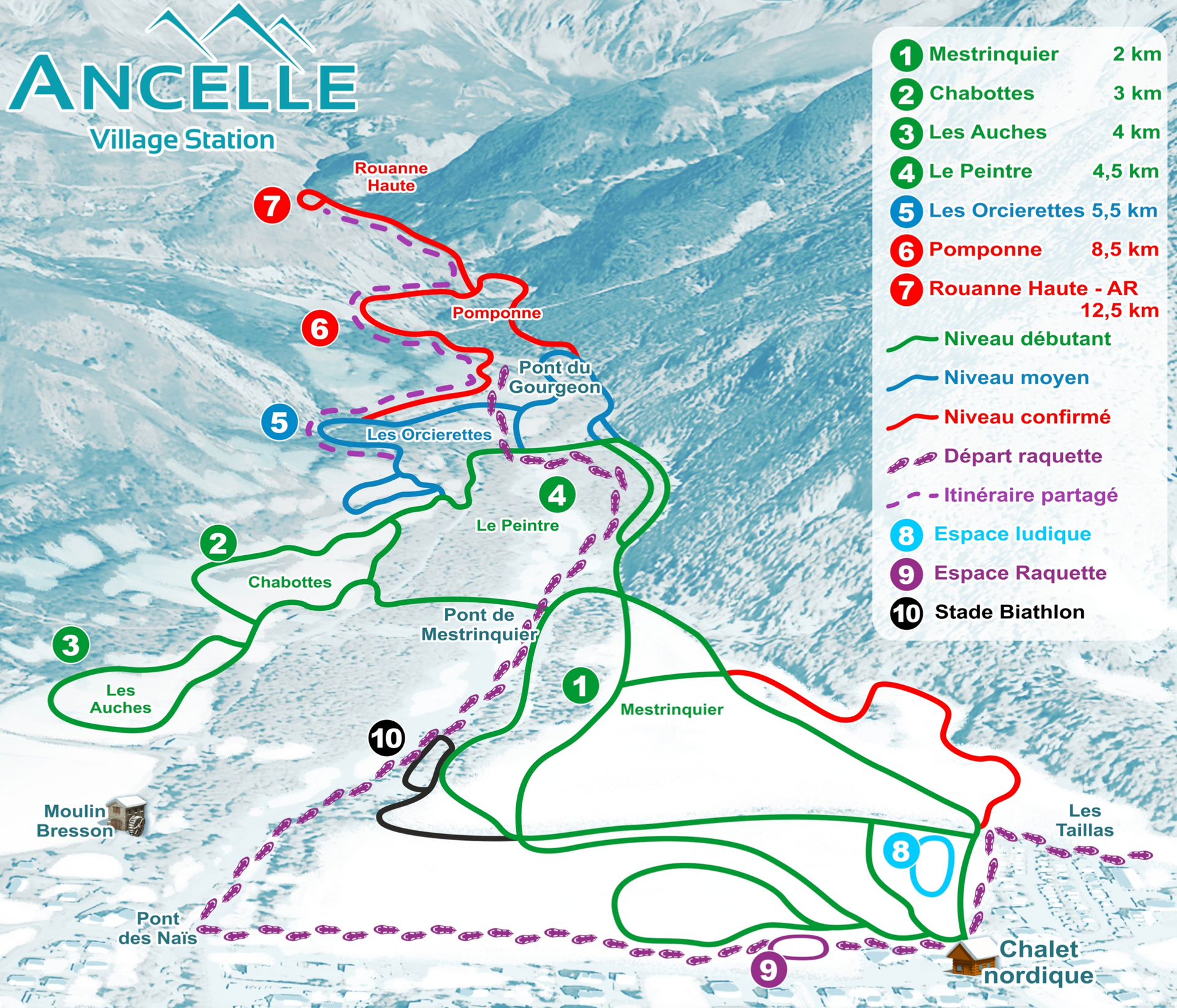

Ancelle
The Ancelle plateau is a great location in an open and sunny position which is good for learning to cross country ski.There are 4 loops of 18 km in total which you can see on the løipe map. The area is open from 09.00 - 16.00.
Cross Country Ski Tracks of Ancelle
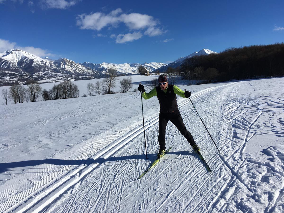
Cross Country Ski Maps of Gap-Bayard


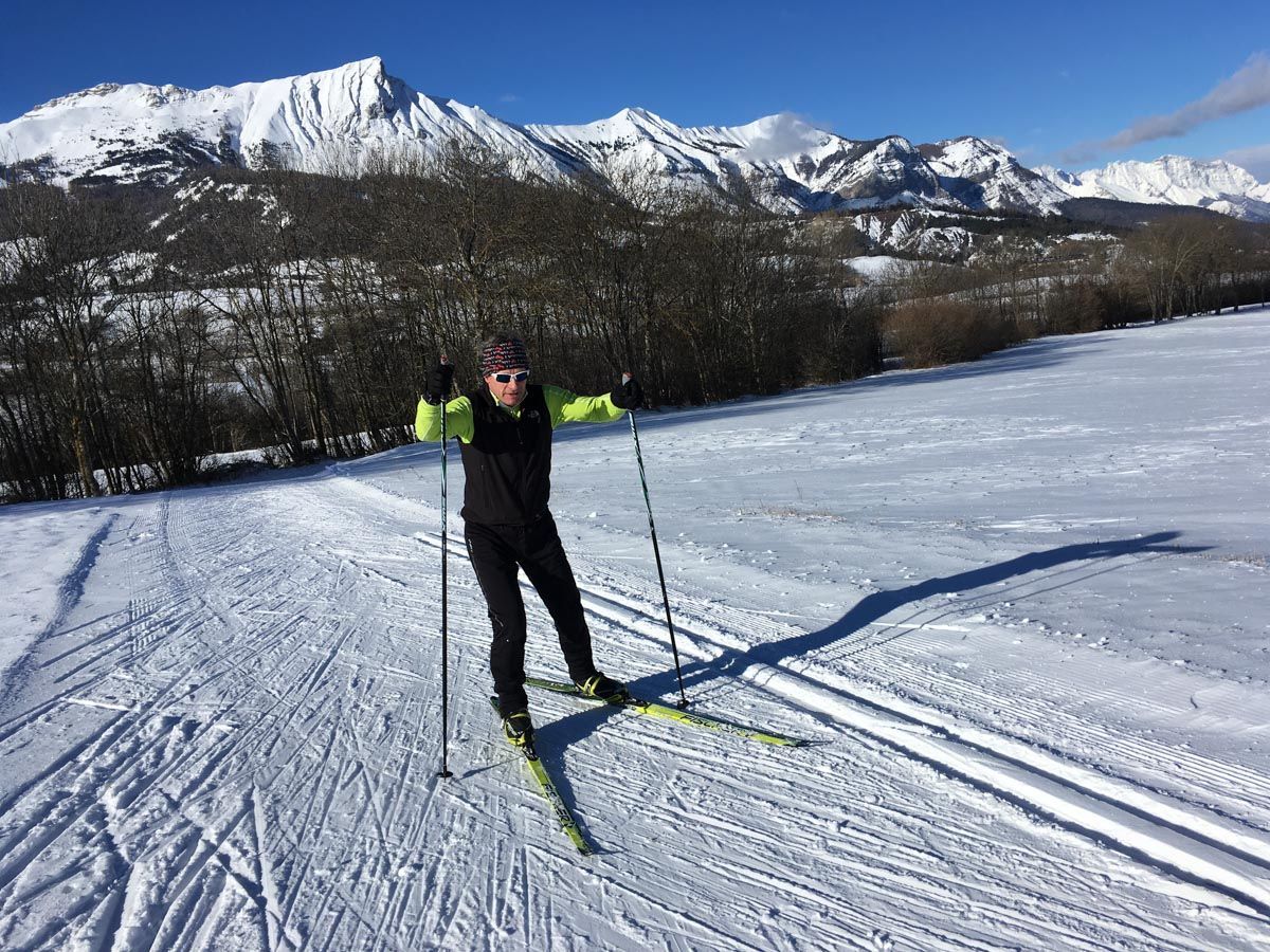
Gap-Bayard
Set at an altitude of 1246m, this plateau is on the mountain pass above Gap and provides great views. It's a popular ski de fond area of around 50km which has gentle and undulating tracks with a variety of difficulty. There is an illuminated track every Friday night, and is within 10 minutes of Gap and 3 minutes from the Alpin-de Laye ski resort.
The reception area of the resort is open from 08.30 - 14.30 every day from 20 December to March 10 (unless there is lack of snow) and you can rent equipment here as well as snowshoes and fat bikes.
There is a
downloadable app for map tracking, open tracks and route mapping.
Cross Country Ski Tracks of Gap-Bayard
Cross Country Ski Map of Dévoluy
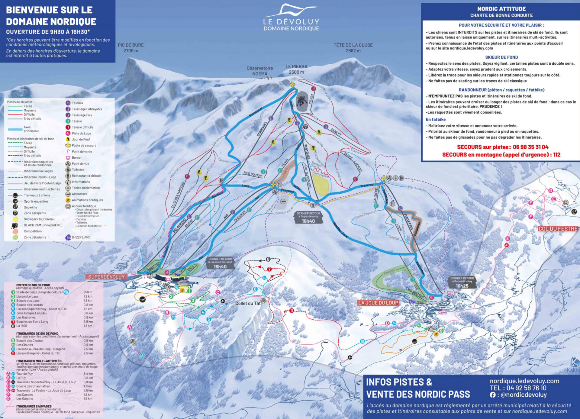
Dévoluy
Here there are 13 cross country ski trails spread over 20 kilometres. You can access tracks at Superdévoluy, La Joue du Loup and the Col du Fester. Overall there are 5 green tracks, 5 blue tracks, 2 red tracks and 1 black one. They form links to be able to ski the entire area.